through aerial photography
Jerzy Miałdun, Izabela Mirkowska
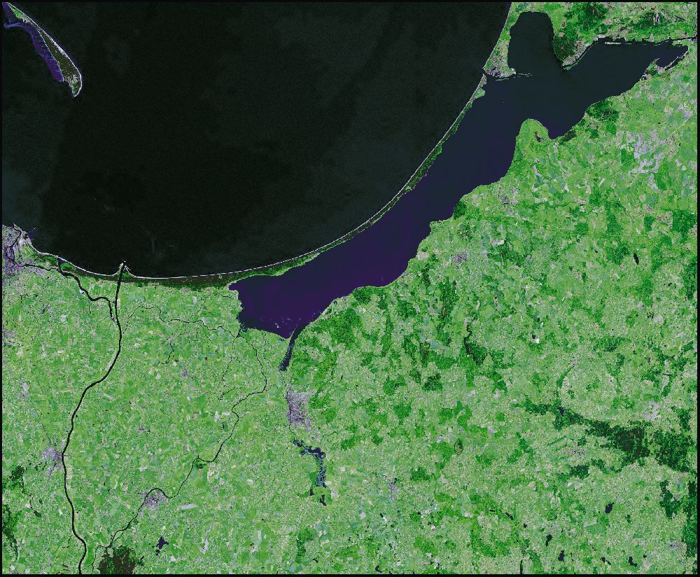
The formation of the Vistula Lagoon, as a geographical form, started a few thousand years ago, as the result of the slow process of the separation of coastal shallows by an embankment of sandy dunes. The total area of water surface is 838 km2 and its average depth is 3.5 m. Running off rainwater carried fertile micro-nutrients and inorganic material from the marshland fields and slopes of the Elbląg Upland. This causes shallowing of the body of water and overgrowth of silted up bays and shallows. The water level in the Vistula Lagoon depends mostly on the strength and direction of wind. High water levels are mainly the result of the discharge of the Baltic waters after the predominant north-west winds. The maximum increase or the decrease in the water level resulting from the exchange of waters between the lagoon and the Gulf of Gdańsk can range from 0.8 m to 1 m per day. The amplitude of water level fluctuation reaches the highest values in the south-west part of the Vistula Lagoon. Therefore, there is no justification in talking about a stable shoreline in the Vistula River Delta in times preceding the Dutch colonisation. The area of the Vistula River Delta and flood waters situated on the east provided attractive living space for people. This has been confirmed by archaeological excavations.
Source: NASA, public domain: https://zulu.ssc.nasa.gov/mrsid/